


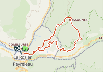

10.1 km | 18.8 km-effort

User


FREE GPS app for hiking
 SityTrail
IGN / Geographical institutes
SityTrail World
The world is yours!
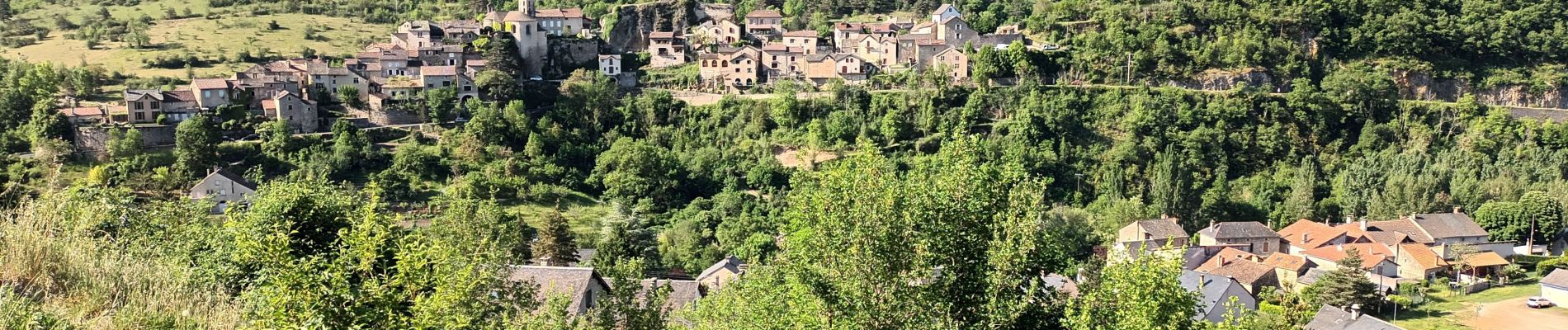
Trail Walking of 11.6 km to be discovered at Occitania, Lozère, Le Rozier. This trail is proposed by Christiancordin.
Le Rozier (D bas d'un escalier D 996) -rocher de Capluc-sentier Jacques Brunet-GR 6-fontaine du Teil-GR tour du causse Méjean-vase de chine-vase de Sèvre.


Walking

Walking

Walking

Walking

Walking

Walking

Walking

Walking

Walking